
Hainan Provincial Meteorological Bureau lifted the level-four typhoon warning at 15:10 local time on July 18th. Typhoon No. 4, known as “Talim”, made successive landfalls in Zhanjiang, Guangdong, and Beihai, Guangxi before weakening to a tropical storm around 12:00 on the 18th. It further weakened into a tropical depression.
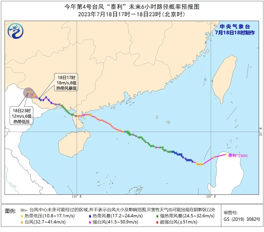
At its peak, Talim generated maximum winds near the centre reaching level eight, equivalent to 20 meters per second. Meanwhile, a new typhoon is currently forming, indicating continued tropical weather activity in the region.
According to the mid-term forecast by the China Meteorological Administration, it is expected that one to two typhoons will form in the western Pacific over the next 10 days.
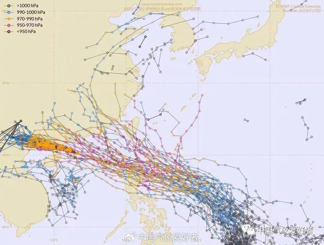
Analysis by meteorologists at the China Meteorological Administration reveals that a potential typhoon, identified as 98W, is developing near Palau, located some 700 km east of the Philippines. This system is anticipated to rapidly intensify and possibly become Typhoon No. 5. There is a high likelihood of it approaching China once again, as it benefits from favorable conditions influenced by the subtropical high. Late July is the anticipated timeframe for potential impact.
Based on the projected trajectory, the most probable affected area is Guangdong. In the interim between Talim’s departure and the arrival of the subsequent typhoon, Hainan can expect relatively cooler temperatures ranging from 27 to 33 degrees Celsius.
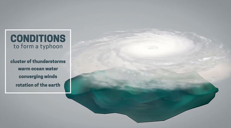
Related article: How does a typhoon form?